
Eastside Stories is our way of sharing Eastside history through the many events, people places and interesting bits of information that we collect at the Eastside Heritage Center. We hope you enjoy these stories and share them with friends and family.
Although the Duvall earthquake that occurred in 1996 is not the largest or most devastating before or since it is an example of a geological event which forced scientists to take a closer look at what we know about the world around us. In 1932, before seismology was a formalized branch of science, an earthquake hit the same spot in Duvall. The earthquake storm that followed in 1932 lasted 6 months with residents harrowed by large quake following small quake without pattern or warning.
The more recent Duvall earthquake struck on Thursday May 2, 1996 and measured 5.3 in magnitude, the largest quake in 30 years. It was felt from Seattle to the Tri-Cities and from Vancouver BC to Portland. The quake was shallow, which would typically ensure a lot of damage but not this time. The only damage recorded by the Seattle Government was two cracked chimneys, a toppled wall, a broken pipe and several cracked foundations. This is nothing compared to the Nisqually earthquake which came 5 years later and injured over 400 people.
The Saturday after the 1996 Duvall earthquake William Steele, who at the time was the Seismology Laboratory Coordinator at the University of Washington, warned that aftershocks were possible for days and even weeks after, just like in 1932. Today William Steel is the Director of Outreach & Information Services and still helps with informing people about how earthquakes operate and what kind of impact they can and do have on the area. The 1996 Duvall quake was followed by 300 substantial aftershocks, just as Steele predicted, that reached up to 3.6 on the magnitude scale.

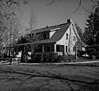
This image from 1950 showing the view from Hilltop Community was originally used in a Scheffer book. This shows the land that can be so dramatically changed by geological events.
At the time of the quake little was known about the fault that caused it. In fact, the location of the epicenter was directly between what was believed to be two separate fault lines, the East Whidbey Island Fault and the Rattlesnake Mountain Fault. The earthquake made scientists aware of a new potential danger beneath the surface. The quake showed that the fault which caused it ran north to south. This is counter to most other fault lines in the area, that run east to west.
The earthquake kicked off new inquiries into the fault lines running under Duvall. Within 3 days scientists were out trying to determine which fault caused the quake, employing all the necessary equipment including geological maps, computer-generated relief picture, and 3-D stereograms, scientists debated what the real pattern of fault lines was on the Eastside. Demonstrating how, even an earthquake that has little impact on the people living on the surface, can cause changes in our understanding of the world.
At the time, these two faults were believed to end with a large distance between the two. The Whidbey Island Fault ending under Everett and the Rattlesnake Mountain Fault ending as far south as Northbend. This earthquake launched a debate with some claiming the two faults may even be connected. The connection between the two fault lines is still up for debate, but, because the epicenter of the quake occurred directly between the Rattlesnake Mountain Fault and the Whidbey Island Fault it was determined that at least the East Whidbey Island Fault must extend further than originally believed. This information makes us safer and more prepared. We have the geological event that occurred just two decades ago to thank for making scientists aware of this geological fault.
Either way, the Eastside remains much more geologically active than the Seattle Area making our need to be prepared for this kind of disaster vital. Although there is an awareness of the danger that this beautiful landscape conceals beneath its surface it is still unlikely that earthquakes will be predictable any time soon. That is why the Washington State enacts policies to help prepare for these kinds of disasters

Historic aerial photograph of the northern end of Lake Washington in King County this shows how in spite of an awareness of the seismic activity in the area, people continued to settle in King County even after the first recorded earthquake in the early 1800s.

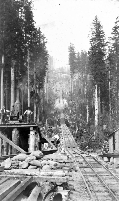
Photograph from 1950 this is an aerial view of the Hilltop Community on the water front. This Photo was originally used in a Scheffer book as well.
Our Mission To steward Eastside history by actively collecting, preserving, and interpreting documents and artifacts, and by promoting public involvement in and appreciation of this heritage through educational programming and community outreach.
Our Vision To be the leading organization that enhances community identity through the preservation and stewardship of the Eastside’s history.